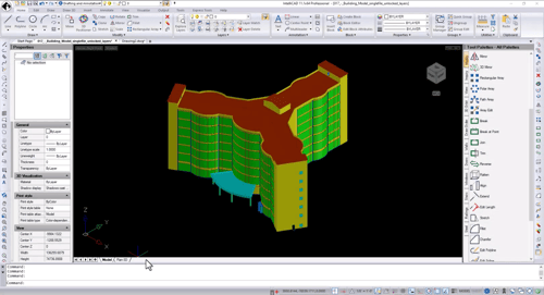
Export three-dimensional architecture models to an .ifc file (BIM interoperability file from buildingSMART International).
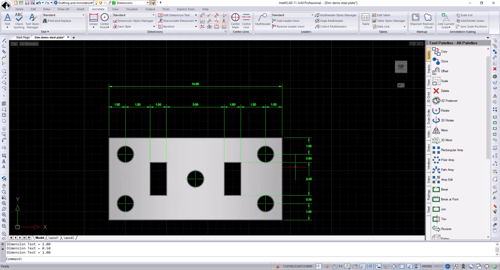
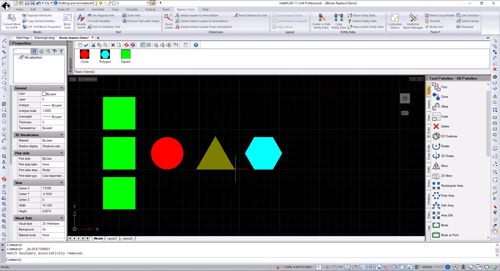
Replace blocks with existing external references or with other blocks. You can also use the new Quick Block Save command to save entities as a block by specifying only the entities and block name.
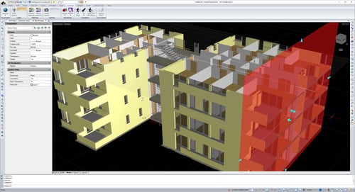
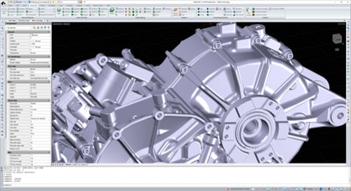
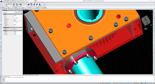
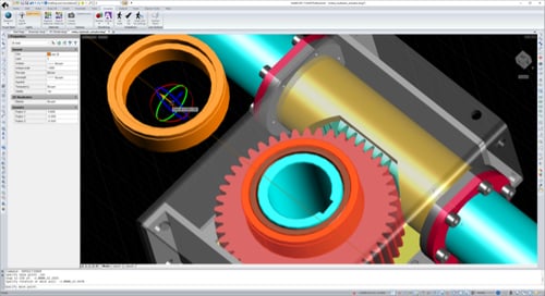
Use section planes to dynamically visualize cross-sections of two- and three-dimensional entities and point clouds. The OpenGL ES graphics device is required. View models as though you are walking or flying through them with 3D Walk and Fly. Use the view cube to check the current viewing direction and switch between preset views and custom viewing directions. Use the view and visual style controls in the upper left corner of the current viewport to quickly apply a different view and visual style to the model. Use the new Visualize ribbon tab to access all the new visualization tools.
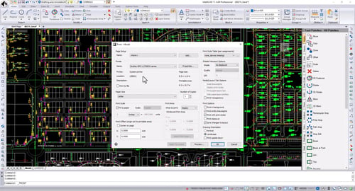
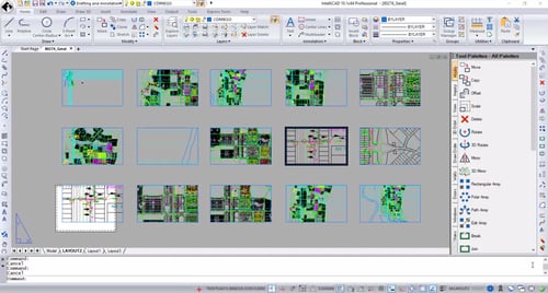
It's now easier to choose which drawings and which tabs to load sheets from automatically when the Publish dialog displays. Choose whether to add sheets for the drawing's model tab, layout tabs, or both model and layout tabs. Select multiple sheets and change the page setup or layer state for all selected sheets. Efficiently apply printer setups and layer states across multiple layouts. Reverse the order of sheets in the sheet list. Preview .pdf files before printing. Print styles and transparency can now be used at the same time.
.png?width=500&height=250&name=pdf(2).png)
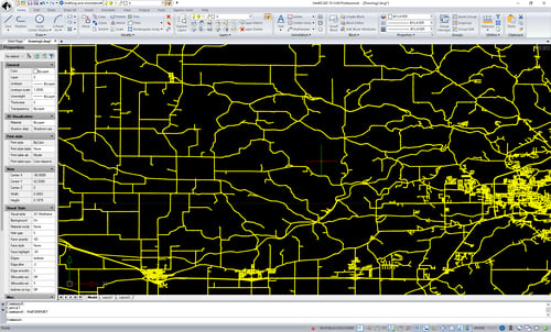
In addition to Shape files, import map files by connecting to PostgreSQL, MySQL, and WFS servers. Import polygons as closed polylines when using the Map Import command.
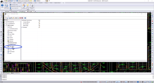
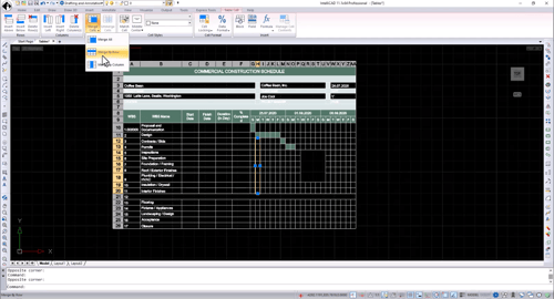
Improved cell selection, including merged cells. Fixed range entry to allow down-up ranges. Several fixes for working with table styles. Several fixes for working with data links including updates, downloads and notifications. Several improvements to applying and changing cell formats. Improved ability to rotate tables. Fixed issues when copying and pasting text within table cells. Table preview performance improved. Use the Match Cell command to copy the properties of a source table cell and apply them to selected cells. Apply a cell style and fill color to a table cell directly from the Table Cell contextual ribbon tab (if supported by your program version).
.png?width=500&height=270&name=table(2).png)
In the Explorer, select multiple blocks and right-click them to save multiple blocks to disk at the same time.
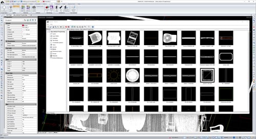
In the BIM Properties pane, create and assign visibility states to control which levels or components are displayed. Utilize states to quickly change between different views of your BIM underlays.
.png?width=500&height=270&name=groups(3).png)
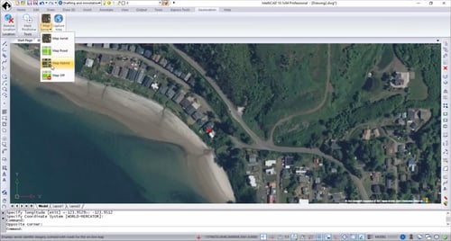
To use geolocation options, specify a map file, your current location, or a latitude, longitude and now a new dialog displays with appropriate coordinate systems for your lat/long location. Then you can capture an area of the geographic map as an image for offline work, add position markers, and change the map’s type (road, aerial, or hybrid). Use the new Map Service command to turn geographic map services on and off. When off, the program is prevented from accessing the Internet to display the online map, and the Mark Position, Capture Area, and Reload Image commands are unavailable.
Wall entities now support standard editing commands like Trim, Extend, Offset, Join, Break, BreakAtPoint and Reverse.
.png?width=500&height=235&name=sheet-set(2).png)
.png?width=500&height=269&name=dynamic-blocks(2).png)
New commands: Audit, DXF Out, DWG Out, and Divide. Import linetypes from .lin files. Convert multiple .dgn file models to .dwg files when using IntelliCAD Converter. Performance enhancements: (ssget) with an xData filter is more than 10x faster, sds_dictadd is 6x faster, regenerating and saving files with scalable linetypes is more than 10x faster, erasing entities is 4x faster, snapping is more than 10x faster, and redrawing, zooming, and panning are overall faster.
IntelliCAD Technology Consortium
10260 SW Greenburg Road, Suite 400
Portland, Oregon 97223
Call us: 1-503-293-7655
Fax: 1-503-293-7657
Email: press@intellicad.org